
Shoreline Memory
100 × 78 cmMeasured at La SaladitaArt by Addie ConnerHow it was made
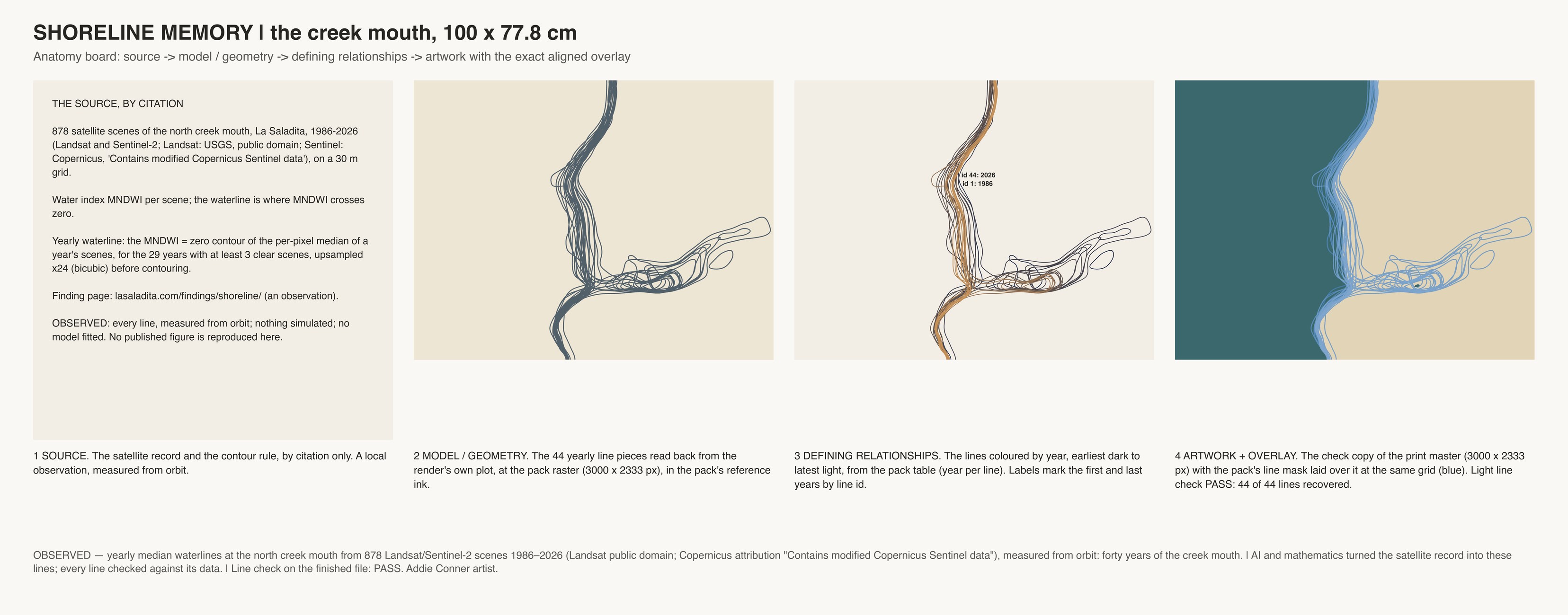
Forty years of the creek mouth's edge, as satellites saw it, each year drawn over the last.
The same satellite archive as Ghost of the Creek, read as the coast's edge between sea and sand: at La Saladita's north creek mouth, each pale line is where the water's edge sat in one year, 1986-2026, over the sea in deep teal and the land in sand, more opaque with each year. Where lines bunch, the edge held; where they loop apart, the mouth moved.
Made from 878 Landsat and Sentinel-2 satellite pictures, with every line computed and drawn by code.